Skip to content

Marine Charts

 
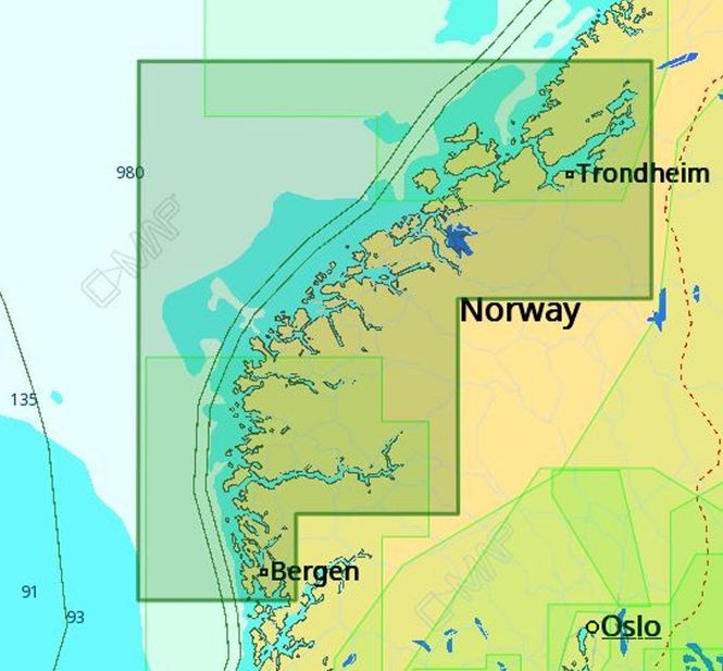
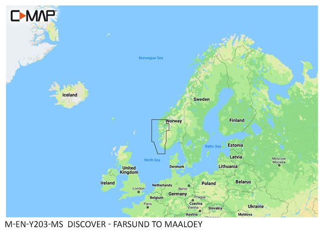
  C-MAP DISCOVER is a detailed electronic nautical chart that covers the coastal area from Farsund to Måløy. The chart is well suited for fishing, pleasure boating and sailing, and provides a clear map basis for planning and navigation. The chart features detailed vector maps, high-resolution depth data and integrated Genesis data. Custom depth shading makes it easier to distinguish between different depth ranges, while information about tides, currents and harbors provides a better basis for planning your trip. DISCOVER also includes subscription-free automatic routing and 12 months of free map updates. Specifications: Coverage area: Farsund - Måløy) Detailed vector maps High-resolution bathymetry Custom depth shading Integrated Genesis data Information about tides and currents Detailed port plans Subscription-free automatic route calculation 12 months of free updates Product number: M-EN-Y201-MS

1 990,-

Kjøp
Kjøp